Google Street View Goes to Egypt

The Google Street View team sent its 360-degree cameras to Egypt to capture panoramic images of some of the world's most famous archaeological wonders.
Virtual Stroll

All three of the Great Pyramids of Giza can be seen while virtually wandering this street.
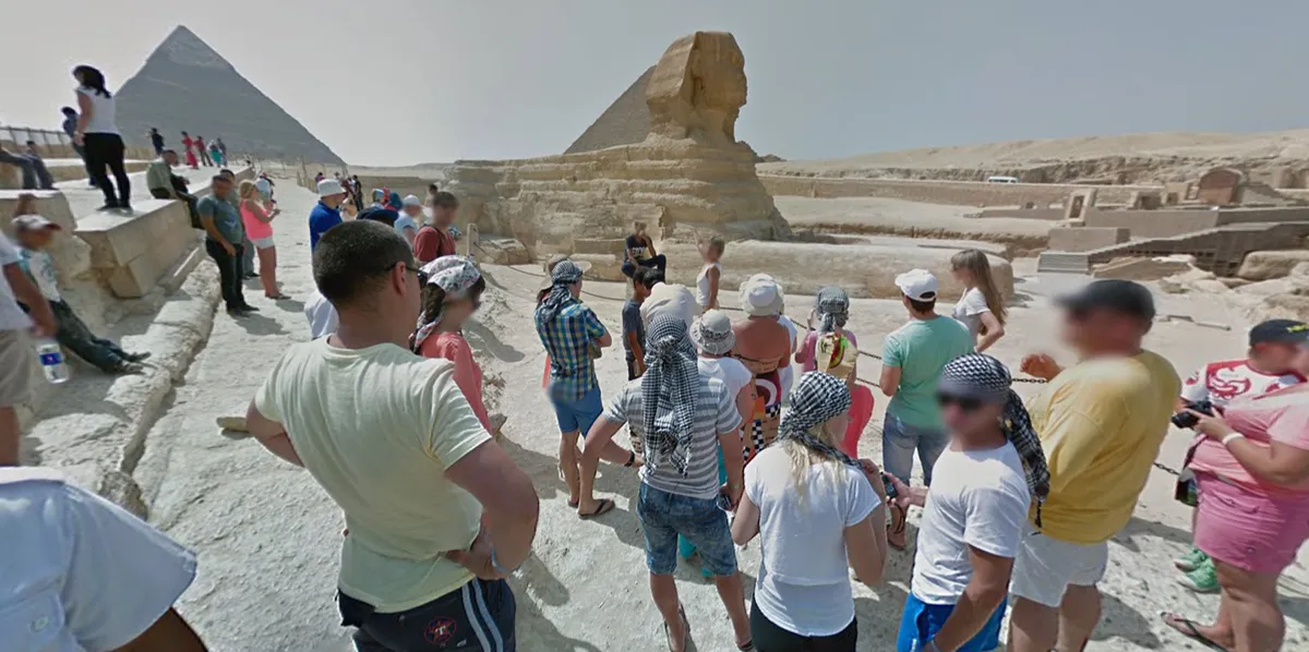
Sphinx

Using Google Street View, you can get as close to the Sphinx as these tourists.
Cairo Citadel

Google didn't just add the pyramids to its Street View tool. It also added imagery of other sites in Egypt, like the Citadel of Cairo, a medieval Islamic fortification shown here.
Pyramid of Djoser

Before the Great Pyramids of Giza, there was the Step Pyramid of Djoser, which was built in Saqqara about 4,700 years ago. It started out as a flat-roofed tomb but then evolved into a 197-foot-high (60 meters) pyramid.
Abu Mena

Built in the 3rd century, Abu Mena is a Coptic Christian site that houses the ruins of an ancient church, a baptistry, basilicas, public buildings, streets, monasteries, houses and workshops, according to UNESCO.
Great Sphinx
You can mingle with tourists in front of the Great Sphinx.